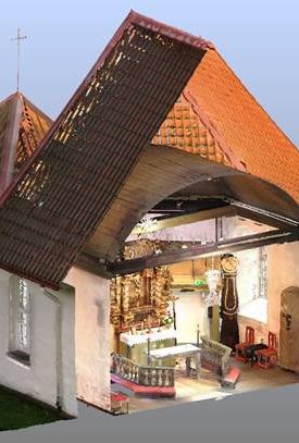
By scanning the environment, the scanner creates data points, each with its own properties. These sets of points are so tightly packed that it's possible to navigate through them and still make out different parts while they are millimeter precise.
The scanner doesn't only provide points but also captures photos each time it scans which can easily be accessed in the same environment. It is then possible to navigate and measure directly from the points.
This scan data can later be used to create drawings such as floorplans, facades, completeing missing drawings and so on.
Point Clouds can automatically be built into textured meshes or by-hand to create a useful CAD model, please read more about our 2D and 3D design here